
The wonders
of the Riviera
Limestone cliffs, sea stacks, secret coves. Every point of this coast is a discovery — and we know them all.
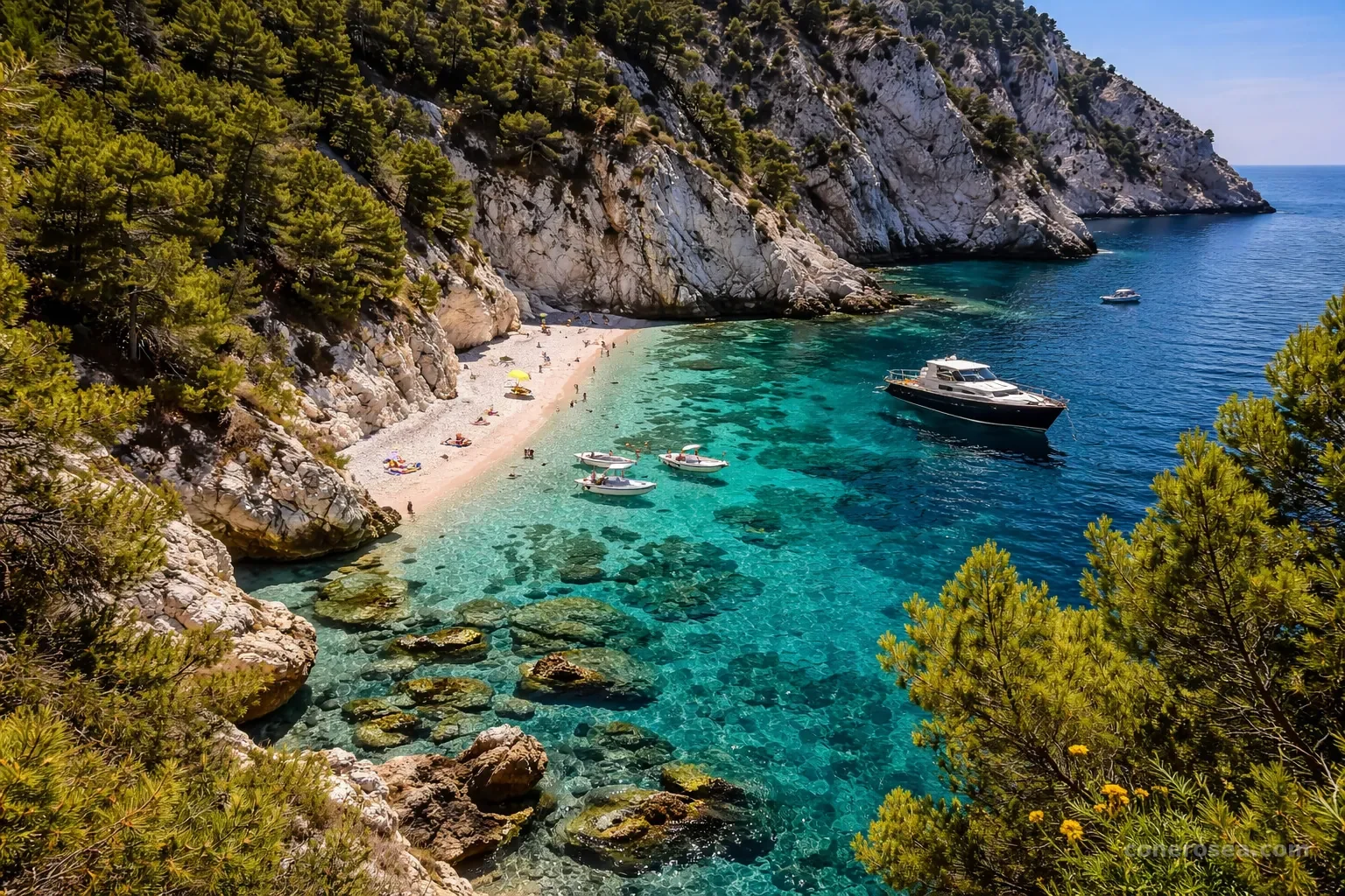
Spiaggia del Frate
Just out of the marina we reach the first cove heading down from Numana. Pale pebbles and shallow, clear water, sheltered beneath the coast: a first taste of what awaits along the Riviera, as the sea starts to change colour.
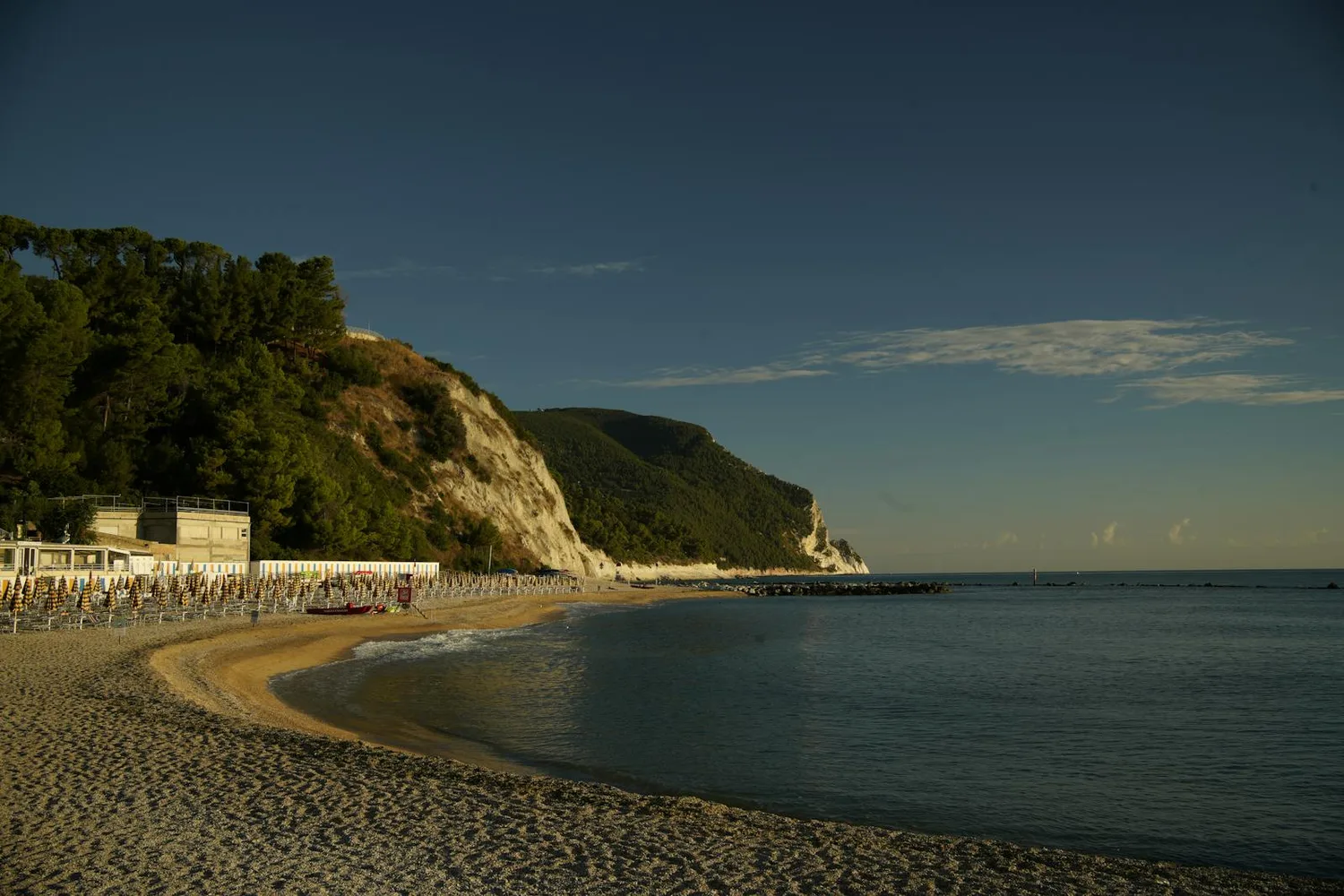
Spiaggia Urbani
One of the most loved beaches below the village of Sirolo, set at the foot of the cliff. Clear water and shallow seabeds that, from the sea, reveal a whole palette of blues. We cruise past slowly, admiring it from the water as few are lucky enough to do.
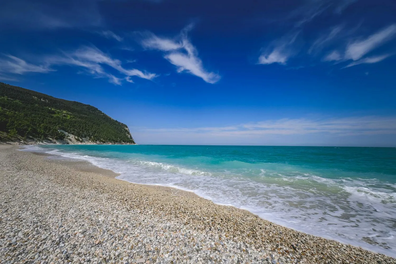
San Michele
The long beach of San Michele, the seaside heart of the Sirolo coast. White pebbles and turquoise sea beneath the green of Monte Conero. From the water you take in its full breadth, blending into nearby Sassi Neri in a single stretch of light.
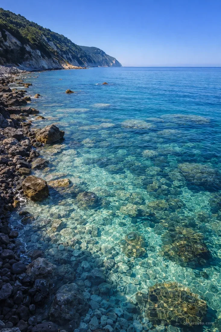
Sassi Neri
The contrast between the dark pebbles and the crystal-clear water creates a unique landscape along the coast. The seabeds are among the richest in marine life on the whole Marche coast: the perfect place for mask and snorkel. Loved by underwater photographers and free-divers for the clarity of the water.
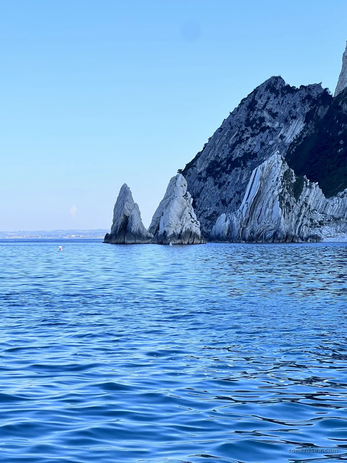
Due Sorelle
The twin sea stacks rising from the Adriatic are the undisputed symbol of the Conero Riviera. Reachable only by sea, they stand against breathtaking turquoise waters. The beach at the foot of the cliff is among the most photographed in Italy, and we stop long enough for an unforgettable swim.
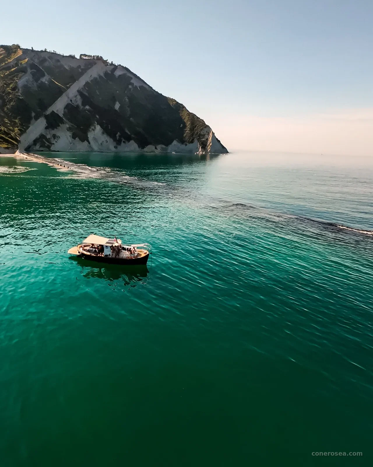
Baia dei Gabbiani
A sheltered inlet where the water stays calm and crystal-clear. When the sea allows, it’s one of our favourite swim stops on the Portonovo tour: you dive into deep, clear water, away from the crowds. The stop always depends on sea conditions.

Scoglio della Vela
A rock rising from the water like a billowing sail, shaped by wind and waves. A scenic spot where the boat slows down to make room for photos, amid emerald reflections and stone profiles that shift with the daylight.
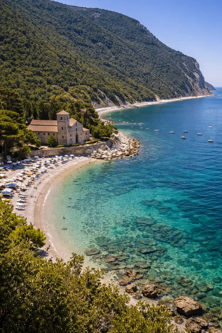
Portonovo
The most enchanting bay of the Conero. Sheltered by the cliff and the mountain, it offers calm, clear waters even on windy days. The little Romanesque church of Santa Maria al Mare and the Napoleonic Fort overlook the beach, in a scene that seems from another time. It’s the destination of our dedicated tour.
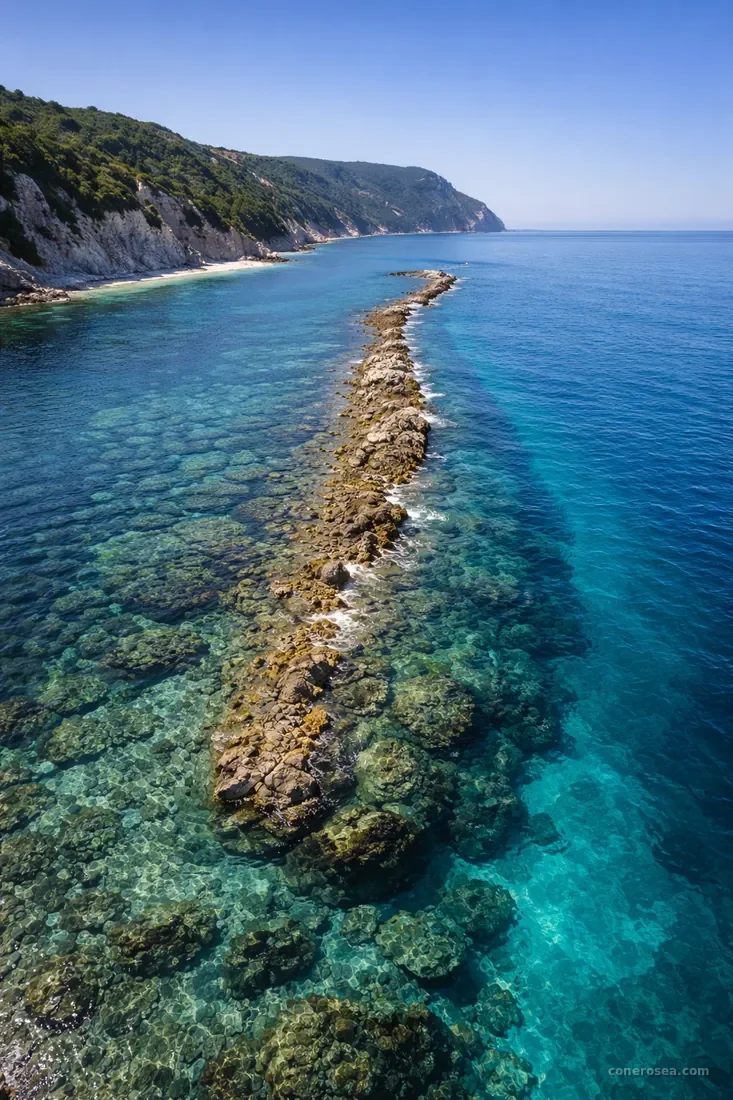
Il Trave
A thin tongue of rock reaching hundreds of metres into the sea, forming a natural barrier visible even from above. An ecosystem of its own: schools of fish, sea urchins and a surprising marine vegetation gather here. It’s the farthest destination, reached by the dedicated tour: when the sea allows, we stop offshore for a swim.
What you can’t see from land

From Numana to Il Trave
The route runs along the Conero coast, from Numana to Il Trave. Duration and stops vary depending on the chosen tour. Click a stop for details.
Choose your route
Every destination deserves to be seen from the sea. Choose the tour that suits you and book your experience.